News
The picture of most of participants of the workshop (photographed by Peter Pehani).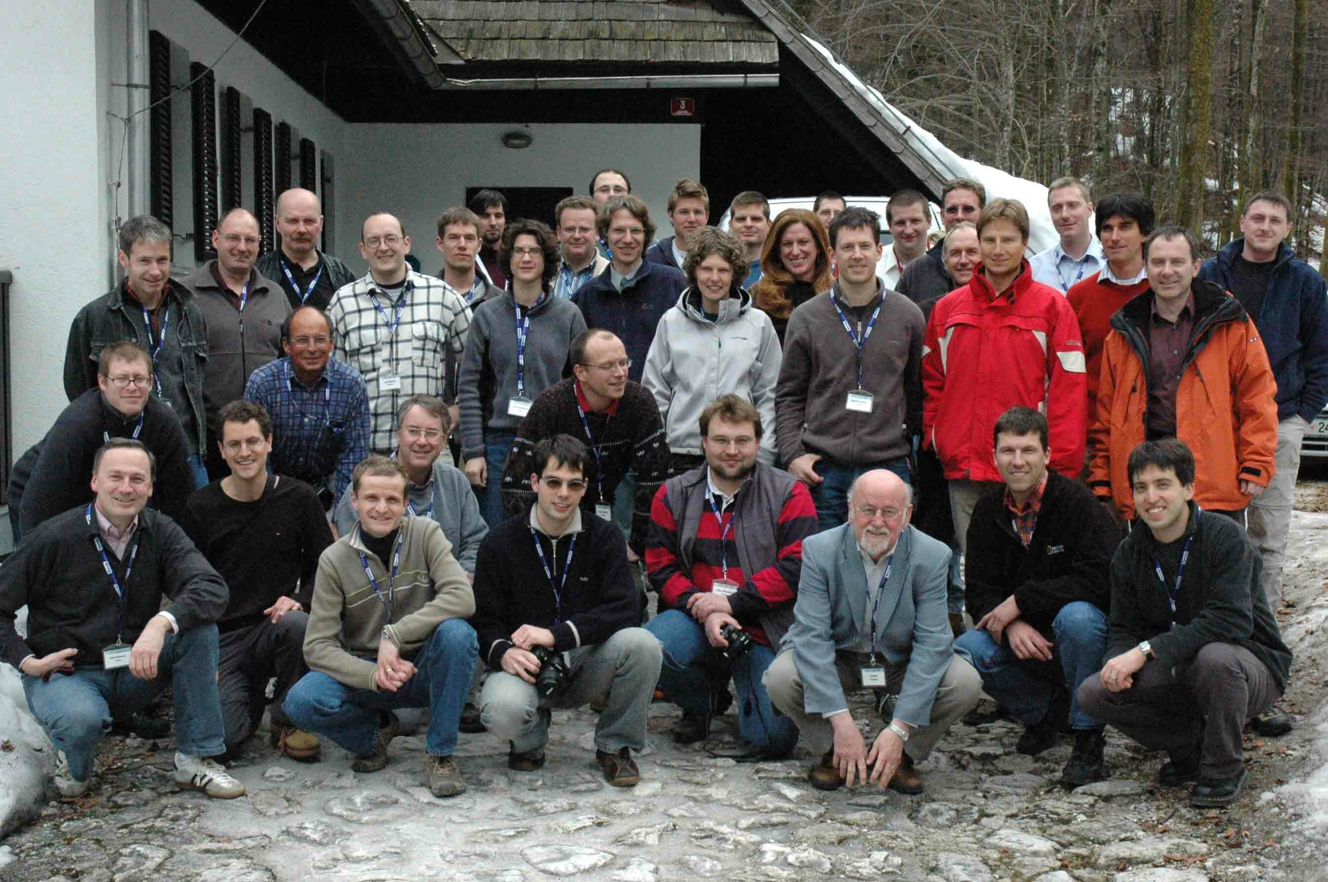
Usefull links
Information about Bohinj: http://www.bohinj.si/novice_en.html
Information about Slovenia: http://www.slovenia.si/
The 5th ICA Mountain Cartography Workshop held in Slovenia, on spring 2006. Biannually workshop covers all topics related to mountain mapping, including avalanche and glacier mapping, relief representation, tourist mapping, data capture, photogrammetry, remote sensing, geo-visualization, multimedia, etc.
Slovenia is a country of 20.000 sq. km and 2 millions inhabitants, situated in central Europe between Adriatic Sea, the Alps and the Panonian lowland; politically between Italy, Austria, Hungary and Croatia. Since 2004 Slovenia is a member of EU. The Capital city is Ljubljana. Map of Slovenia is accessed at http://www.gu.gov.si/si/delovnapodrocja_gu/podatki_gu/brezplani_podatki/vticnik/drzavna_pregledna_karta/#c13341
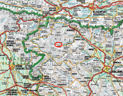
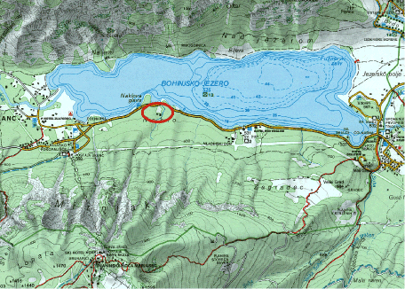
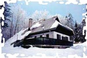
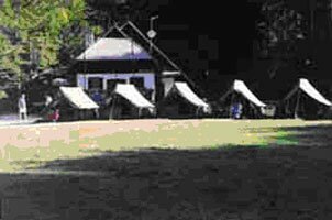
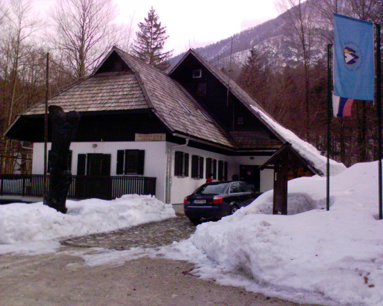
Mountain Cartography Workshop took place in The National Training Centre of SCOUT ASSOCIATION OF SLOVENIA, called “GOZDNA SOLA” (forest’s school). The centre is located in the Triglav National Park, near Lake Bohinj, 533 m above sea level, in the peaceful calm of the surrounding forest and mountains up to Triglav (2864 m), the highest peak of Slovenia and Slovenian national symbol. The entire house would were reserved for Workshop. Besides cartographic and similar presentations there were also many possibilities for hiking and other outdoor activities.